
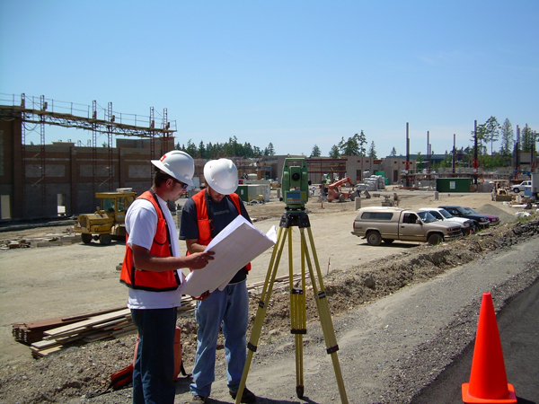
 Not a lot of people realize that land surveying is actually a fusion of art and science. Yes, different equipment is available for the surveyor’s use, but the land surveyor still has the last say on the results.
Despite this though, a land surveyor still has several guidelines to follow. If you’ve had an experience with a dishonest surveyor, or are wary about hiring one, this article should be able to help you out.
What ethics should a land surveyor have?
A surveyor should always start a project with fairness in mind. Your client as well as everybody party involved in the project is expecting you to be fair and just so make the best possible assessment with the evidences handed to you.
Before a project commences, the surveyor assigned to the project should come forward if there’s a possibility of conflict of interest. This is very important to preserve their relationship with the client. A surveyor should avoid professional impropriety by declaring involvement or any prior affiliations with any of the involved parties. It is also the surveyor’s responsibility to keep any information regarding the project as well as the client confidential even after the project is done.
Several cases were reported where the surveyor overcharged the client. This usually happens when the client doesn’t know anything about land surveying. A land surveyor running his business with ethics will never do this. Fortunately, there are more honest land surveyors than dishonest ones.
A surveyor should charge a project according to the length of time needed to get it done as well as the level of technical complexity required for it. For the surveyor’s sake as well as the client, one should never sign plans, certificates or reports unless these are personally supervised by him. Not only is this unfair on the client’s side, doing so could put his reputation in danger should the results get disputed and he doesn’t know anything about them.
Just like with other industries, a land surveyor should never undermine the capability of other surveyors or the people from the land surveying industry.
New technologies come up for land surveying all the time. When a surveyor knows that a project is beyond his skills, he should tell the client about it. There’s no sense accepting a project only to come up with a subpar result. It will only hurt your business and your reputation.
Surveyors should also be responsible enough to study, do a thorough research, practice and utilize his skills before offering clients a new service. If a surveyor is new to flood determination, for instance, then he needs to make sure that he knows how to perform it before offering it to his clients.
Surveyors do not work alone. They usually have a staff to support them. The land surveyor needs to be responsible for their actions at all cost, for actions or work carried out by them.
